My husband noticed recently that the google earth image of our house was recently updated. We did alot of work on the landscape last year, including enlarging the vegetable garden and we were both surprisingly happy that we could see our efforts from space. It felt kind of like google got the memo about the changes and they are rewarding us for our hard work.
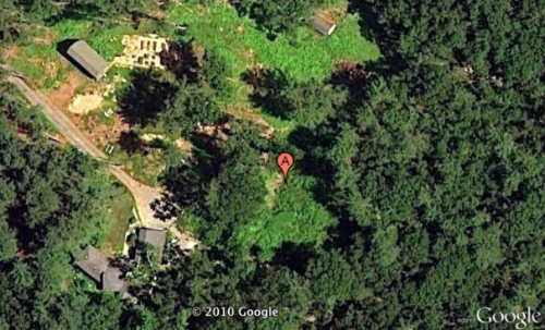
I wish I could share a before and after google earth image of our house….but alas I wasn’t thinking ahead to save the last image before it was removed and replaced with this one. Probably for the best, since the previous image was nothing to be proud of and all you could see was tree tops anyway.
What do I see when I look at this? Well, a lot and I think studying your projects from the air makes for some interesting design insight. I like the way that the new fence ties in the barn around the garden (you can’t see that fence at this scale). Our original plan was to just encircle the garden but having the barn complete one side of the enclosed area is so much more cohesive — both as I look out my front window and as I see it from space. Also — I am noticing that I get a lot more shade than I normally think about in some areas of my garden. There is a place to the right of my garage where you can barely make out the circular patio that I built this summer – it is so much shadier than I think from the ground.
There is a flow that I am noticing too, it winds around the property in a circular sort of fashion, but we don’t use the land that way, we have confined our garden to the smaller shadier area right in the middle (to the left of the ‘A’). I am wondering if this obvious natural flow should be honored and utilized better. And lastly, I notice that my two barns are parallel to each other. From the ground they don’t seem that way at all. There is a significant hillside between the two and they seem askew from each other. As I think about adding new fences and lines on the landscape, I am seeing the layout in a whole new light.
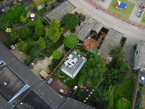
image by kappix
Have you looked at any of your projects or your own home on google earth? It is an interesting way to look at things. The image above is striking to me because I jut can’t get over how tidy and neat every little suburban garden is. While I think it is lovely and interesting to study, I am quite sure that my helter skelter experimental ways would not be accepted. I couldn’t move there.
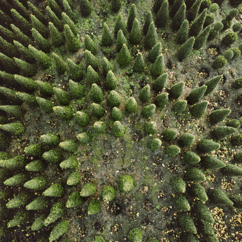
image by Gerco de Ruijter
And while we are discussing aerial photography, I fee I must share a few fabulous images that I found over at Bldg Blog. They are the work of Dutch photographer Gerco de Ruijter. The series of aerial photographs is called Baumschule and he took some of the pictures (many of which were of tree farms) using a camera mounted on a fishing rod. Perhaps a strategy for our own garden photography?
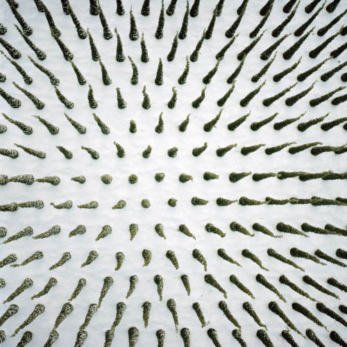
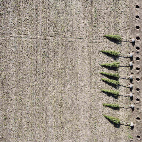
images by Gerco de Ruijter
Gerco de Ruijter’s Baumschule series is currently on display in its entirety at the Stedelijk Museum Schiedam. But if you can’t get to the Netherlands before April 10th (when it closes), you can see more images at Bldg Blog.
+comments+